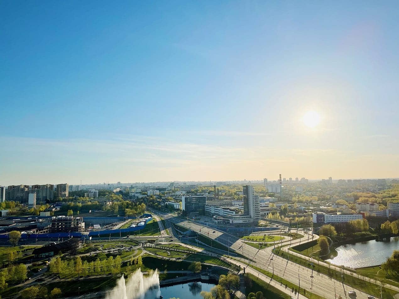
Summer in the Valley of the Sun is relentless. Sidewalks radiate heat long after sunset, bus stops offer no shade, and a short walk to the corner store can feel genuinely dangerous. Arizona cities have spent years studying this problem, and the design responses taking shape across Phoenix, Mesa, and Tempe are worth understanding in detail.
The Scale of the Problem
Urban heat is not simply a matter of warm weather. It is a structural consequence of how cities are built. Urban structures change how energy is used and stored, making city centers warmer at night than the rural areas surrounding them. This “island” of elevated nighttime temperatures is the urban heat island effect, driven largely by asphalt, concrete, and cement that store sunlight during the day and release heat slowly at night.
Phoenix has one of the largest urban heat island magnitudes in the world, with up to a 10, 14°F temperature difference between the city core and nearby rural communities like Wickenburg and Casa Grande. That gap is not just uncomfortable. It drives up energy costs, strains the power grid, and forces residents to limit the time they spend outdoors, particularly those without reliable access to air conditioning.
Shade, Trees, and the Cooling Power of Canopy
The most direct tool available to city planners is also one of the oldest: trees. Even a single tree can reduce mean radiant temperature, the overall impact of the heat a person feels, by up to 30 degrees, making outdoor spaces safer and far more comfortable in triple-digit heat.
Phoenix has moved this principle into formal policy. The city’s Cool Corridors program creates quarter-to-half-mile walkable segments adjacent to arterial streets, designed to keep pedestrians, cyclists, and transit users safe through a combination of natural and engineered shade and other temperature-lowering design features. The Shade Phoenix Plan prioritizes unshaded locations with high pedestrian traffic for trees and built shade investments, with plans to plant up to 1,800 trees along nine miles of heavily used corridors.
Mesa and Tempe are pursuing similar strategies. Researchers at Arizona State University are working with neighborhoods in Phoenix, Tempe, Mesa, and Guadalupe that have little shade, using 3D modeling software to map how much canopy could be produced and at what time of day. The precision matters. Plant a tree too close to or too far from the area it is meant to shade, or at the wrong angle to the sun, and the benefits dissipate quickly. Getting it right is more complex than it appears.
Canopy Planning as Infrastructure
Cities are beginning to treat tree canopy the way they treat roads and water systems: as infrastructure that requires planning, investment, and maintenance. Recognizing that a skilled workforce is essential for proper planting, irrigation, and pruning, one partnership created a community trade school with arborists, landscapers, and irrigation specialists to train the next generation of urban foresters.
Cool Roofs and Reflective Surfaces
Beyond street-level greenery, reflective building materials are part of the toolkit. Over 70,000 square feet of city-owned properties in Phoenix have been painted with reflective, cool roof coatings, resulting in a 17% reduction in energy consumption for those participating buildings. The logic is straightforward: lighter surfaces absorb less heat, which means less of it radiates back into the surrounding air.
Cool Pavement: Promise and Complexity
Phoenix’s cool pavement program has attracted national attention and generated genuine debate. The program, which began in 2020, involves applying a coating to existing asphalt that reflects rather than retains heat. To date, the city has installed more than 140 miles of treated road.
The results are mixed. Treated pavements had significantly lower surface temperatures compared to conventional asphalt, but the cool pavement also increased the thermal stress a person standing on the surface would experience at midday, according to findings from an Arizona State University study conducted in partnership with the city. That tradeoff matters a lot depending on where you put it. Researchers say the technology works best on large parking lots that lack shade or in car-heavy areas, and is not recommended for high-pedestrian zones like playgrounds, plazas, or parks.
The lesson from Phoenix’s experience is that no single intervention works everywhere. Effective heat mitigation requires layering strategies based on how a specific block or corridor is actually used.
Urban Design and Traffic Safety
Heat mitigation and traffic safety are more connected than they might seem. When streets are uncomfortable to walk, people make riskier choices: crossing mid-block to reach a shaded spot, rushing across wide intersections, or avoiding crosswalks altogether. The design of the street environment shapes behavior. Always has.
Arizona’s 2024 traffic data recorded a five-year high in pedestrian and cyclist crashes, with 2,079 pedestrian crashes reported statewide. Phoenix’s sprawling streets and wide corridors create persistent danger, with high traffic volumes, roads designed for vehicle speed, and inadequate pedestrian infrastructure forming a dangerous combination.
City design projects are beginning to address both problems at once. Tempe’s Downtown Refresh Project on Mill Avenue includes updated tree canopy, ADA curbs and ramps, bike lanes, improved pedestrian lighting, and ADA sidewalk and crossing improvements across more than a mile of roadway.
A separate 8th Street improvement project proposes increased shade, pedestrian lighting, traffic calming, an off-street multi-use path, new crosswalks, and improved bike lanes. These measures address many of the conditions that frequently appear in cases handled by pedestrian accident lawyers, reinforcing the connection between thoughtful urban design and public safety. These are not cosmetic upgrades. They reflect a recognition that a street built for comfort is also a street built for safety.
What Pedestrian-Focused Design Actually Looks Like
Cities applying these principles are converging on a consistent set of interventions:
- Shade structures and canopy trees positioned specifically for high-foot-traffic corridors
- HAWK pedestrian signals that allow walkers to stop traffic on busy arterials without a full intersection
- Traffic calming measures such as curb extensions, reduced lane widths, and lowered speed limits near transit stops
- Improved crosswalk lighting targeting the nighttime hours when the majority of pedestrian fatalities occur
- ADA-compliant ramps and directional paving at every crossing point
Each of these elements reduces the friction between pedestrians and the built environment, both thermally and physically.
Mapping Heat to Guide Investment
One practical tool gaining traction across Arizona municipalities is urban heat mapping. University of Arizona researchers have been building a learning network among cities so that planning and design strategies for reducing urban heat can be shared more widely, with heat mapping proving effective at both identifying problem areas and prioritizing cooling interventions. Tucson’s Pima Association of Governments has used its urban heat map to inform transportation planning, green infrastructure investment, urban forestry, and neighborhood improvement programs.
The value of mapping is that it moves heat mitigation from a general goal to a specific, addressable set of locations. A city can identify which blocks have the least canopy, the most impervious surface, and the highest pedestrian traffic, then direct resources accordingly. That kind of targeting makes limited budgets go further.
Looking Ahead
Arizona cities are not waiting for a single breakthrough technology to solve the heat problem. The most effective approaches combine shade, reflective materials, green infrastructure, and street redesign into a layered response that works at the neighborhood level. Planting the right tree in the right place can cut temperatures substantially, while also improving air quality, sequestering carbon, reducing stormwater runoff, and encouraging greater physical activity.
But, the broader shift matters just as much. The cities making the most progress are the ones treating heat not as a seasonal inconvenience but as a fundamental design constraint, one that shapes every decision about how streets, sidewalks, and public spaces are built.